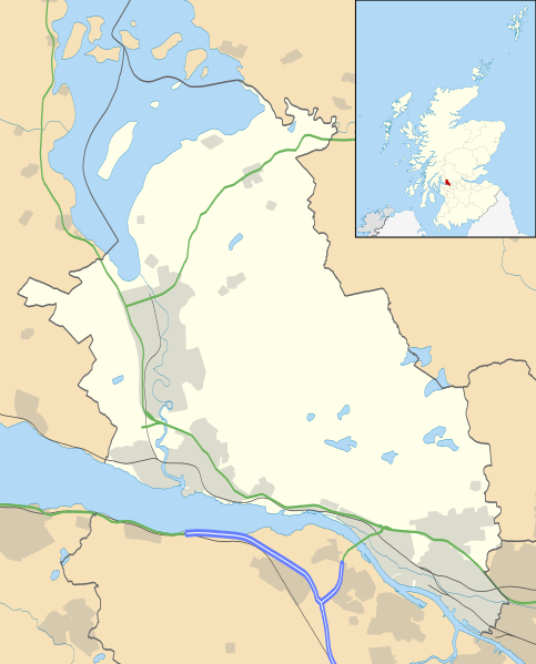
படிமம்:West Dunbartonshire UK location map.svg
Appearance

Size of this PNG preview of this SVG file: 483 × 599 படப்புள்ளிகள். மற்ற பிரிதிறன்கள்: 193 × 240 படப்புள்ளிகள் | 387 × 480 படப்புள்ளிகள் | 619 × 768 படப்புள்ளிகள் | 826 × 1,024 படப்புள்ளிகள் | 1,651 × 2,048 படப்புள்ளிகள் | 1,116 × 1,384 படப்புள்ளிகள் .
மூலக்கோப்பு (SVG கோப்பு, பெயரளவில் 1,116 × 1,384 பிக்சல்கள், கோப்பு அளவு: 811 KB)
கோப்பின் வரலாறு
குறித்த நேரத்தில் இருந்த படிமத்தைப் பார்க்க அந்நேரத்தின் மீது சொடுக்கவும்.
| நாள்/நேரம் | நகம் அளவு சிறுபடம் | அளவுகள் | பயனர் | கருத்து | |
|---|---|---|---|---|---|
| தற்போதைய | 20:26, 26 செப்டெம்பர் 2010 |  | 1,116 × 1,384 (811 KB) | Nilfanion | {{Information |Description=Blank map of West Dunbartonshire, UK with the following information shown: *Administrative borders *Coastline, lakes and rivers *Roads and railways *Urban areas Equirectangular map projection on WGS 84 |
கோப்பு பயன்பாடு
பின்வரும் பக்க இணைப்புகள் இப் படிமத்துக்கு இணைக்கபட்டுள்ளது(ளன):
கோப்பின் முழுமையான பயன்பாடு
கீழ்கண்ட மற்ற விக்கிகள் இந்த கோப்பை பயன்படுத்துகின்றன:
- ar.wikipedia.org-திட்டத்தில் இதன் பயன்பாடு
- bg.wikipedia.org-திட்டத்தில் இதன் பயன்பாடு
- ceb.wikipedia.org-திட்டத்தில் இதன் பயன்பாடு
- de.wikipedia.org-திட்டத்தில் இதன் பயன்பாடு
- en.wikipedia.org-திட்டத்தில் இதன் பயன்பாடு
- Alexandria, West Dunbartonshire
- List of monastic houses in Scotland
- West Dunbartonshire
- Loch Lomond
- Dumbarton
- Clydebank
- Hardgate
- Duntocher
- Faifley
- Cardross
- Dumbarton Castle
- Balloch, West Dunbartonshire
- Renton, West Dunbartonshire
- Overtoun House
- Bonhill
- Jamestown, West Dunbartonshire
- Old Kilpatrick
- Bowling, West Dunbartonshire
- Milton, West Dunbartonshire
- Dalmuir
- Balloch Castle
- Dumbarton Football Stadium
- Boghead Park
- Gartocharn
- Kilbowie Park
- Argyll Motor Works
- Ross Priory
- Drumry
- Tontine Park
- Millburn Park
- Golden Jubilee University National Hospital
- Module:Location map/data/Scotland West Dunbartonshire/doc
- Vale of Leven Academy
- Strathleven House
- Vale of Leven Hospital
- Clydeholm
- Meadow Park, Dumbarton
- Dumbarton Burgh Hall
- Balloch Steam Slipway
- Donald's Quay
- Hartfield House, Dumbarton
- Module:Location map/data/Scotland West Dunbartonshire
சிறப்பு பக்கம்-மொத்த பயன்பாடு - இதன் மூலம் இந்த கோப்பின் மொத்த பயன்பாட்டை அறிய முடியும்
